Lindsay Park: a Field Guide
Original Development Materials circa 1962
The following materials were obtained from the Columbia University Real Estate Brochure Collection.


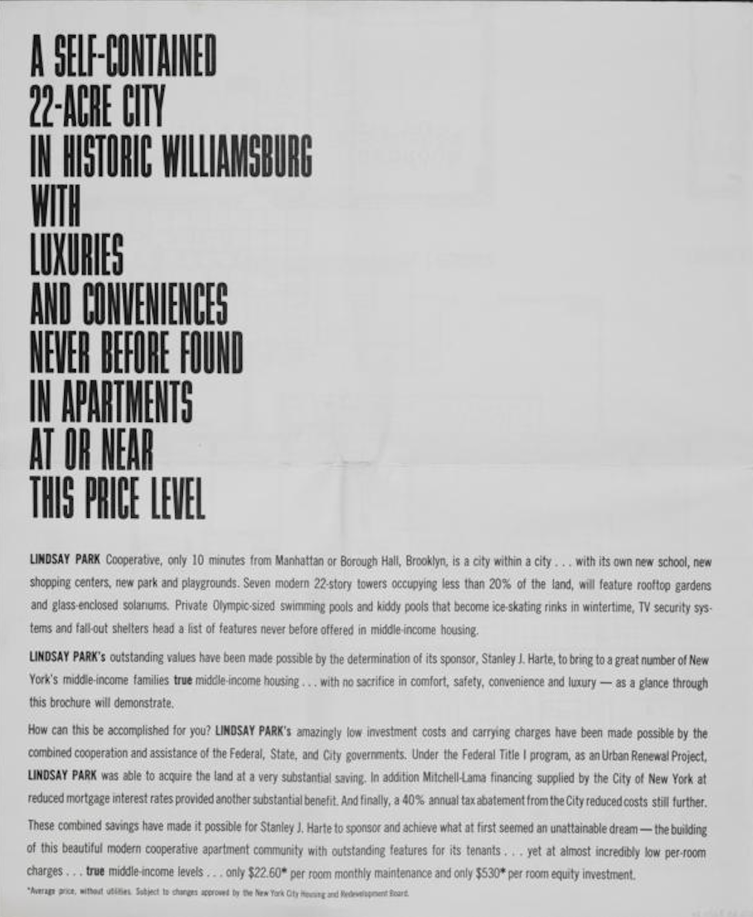

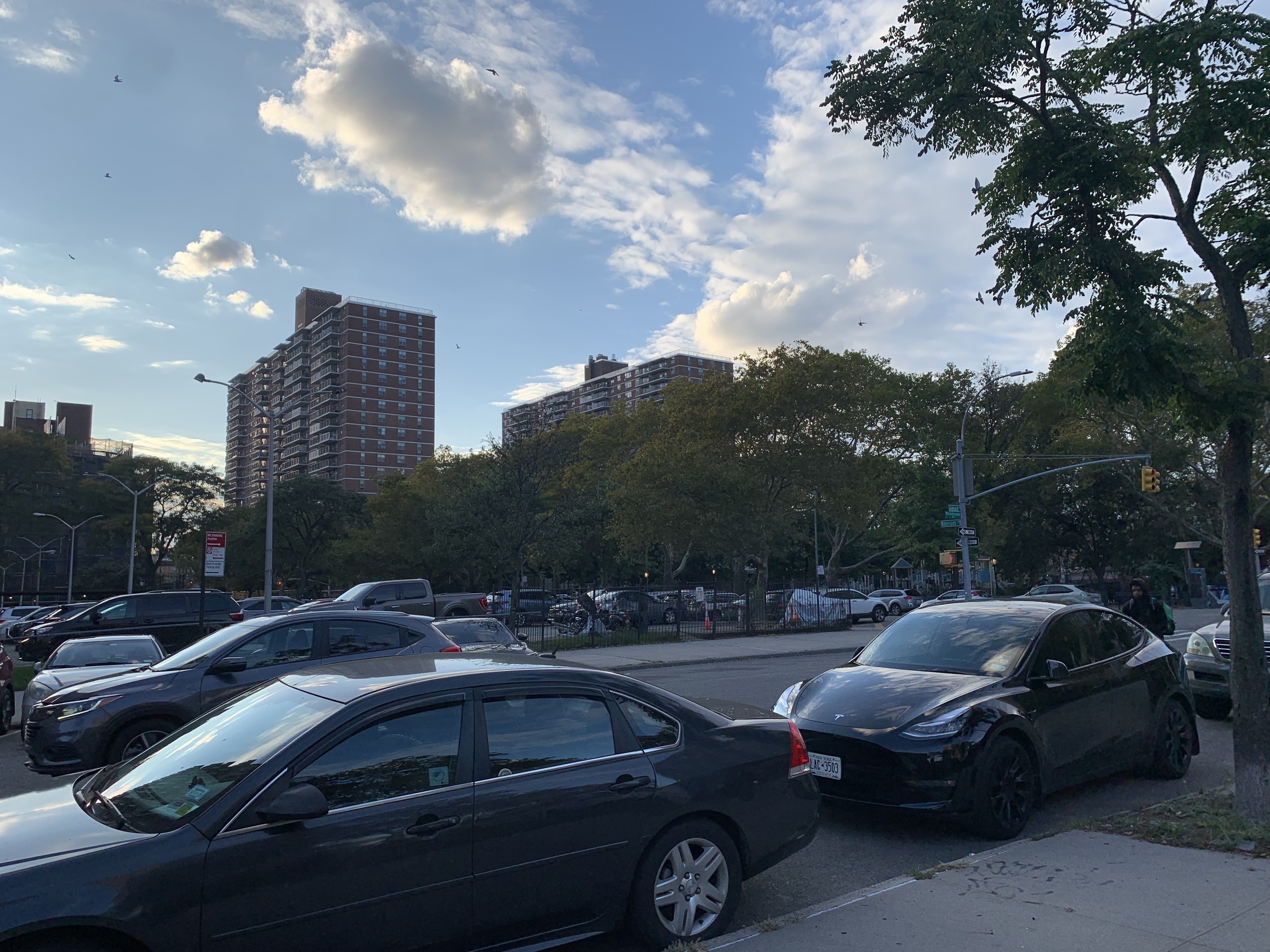
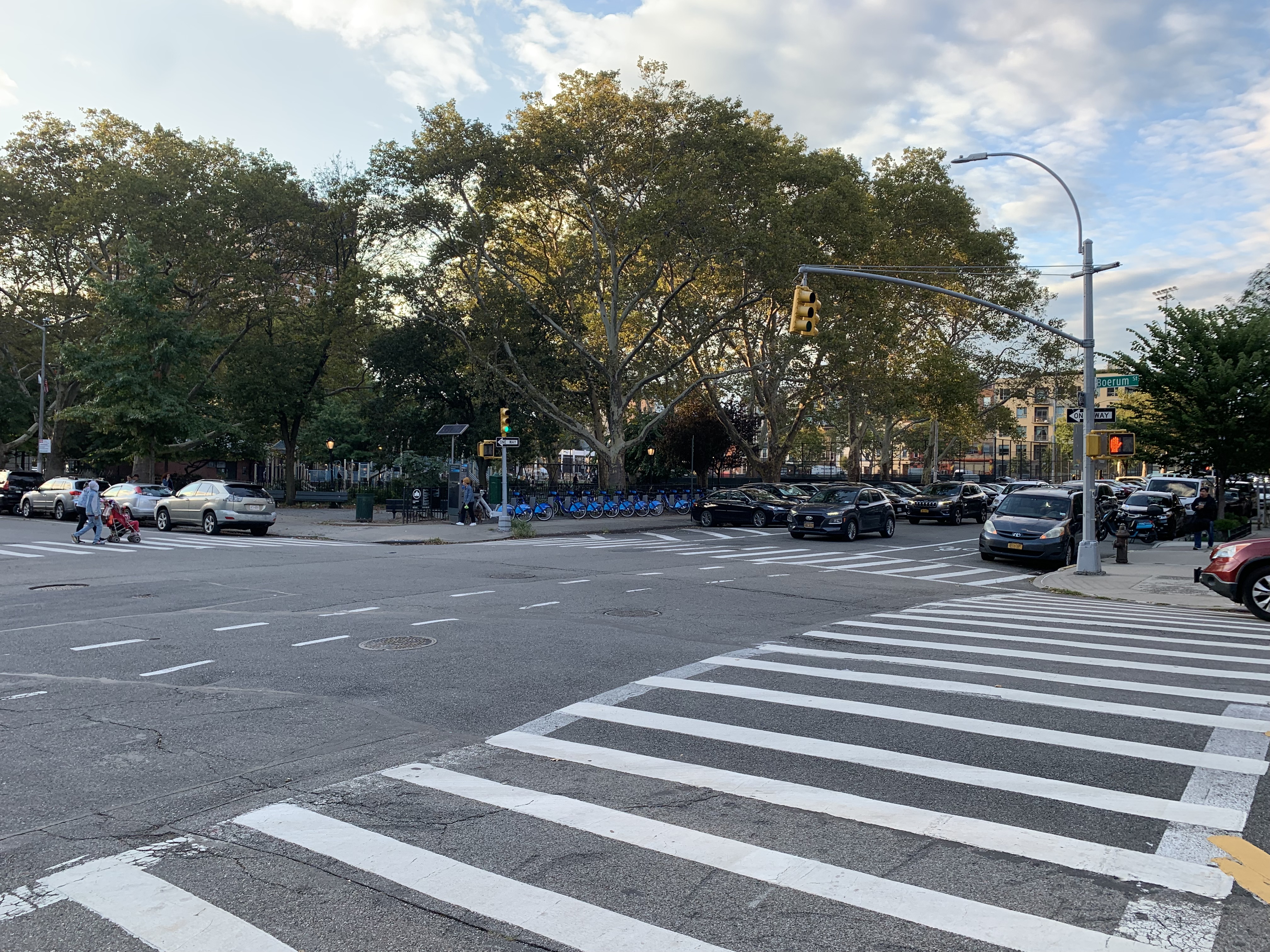
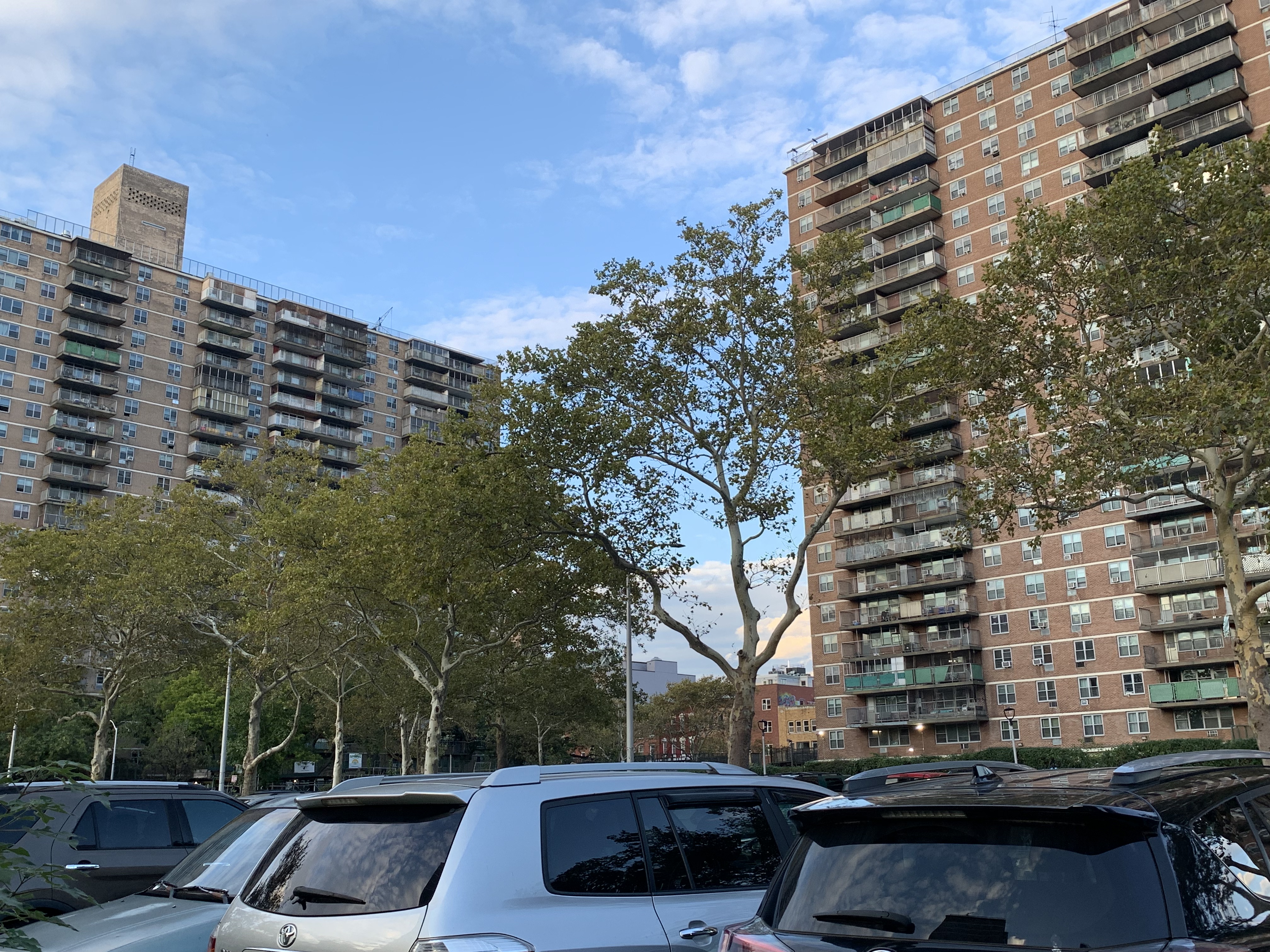
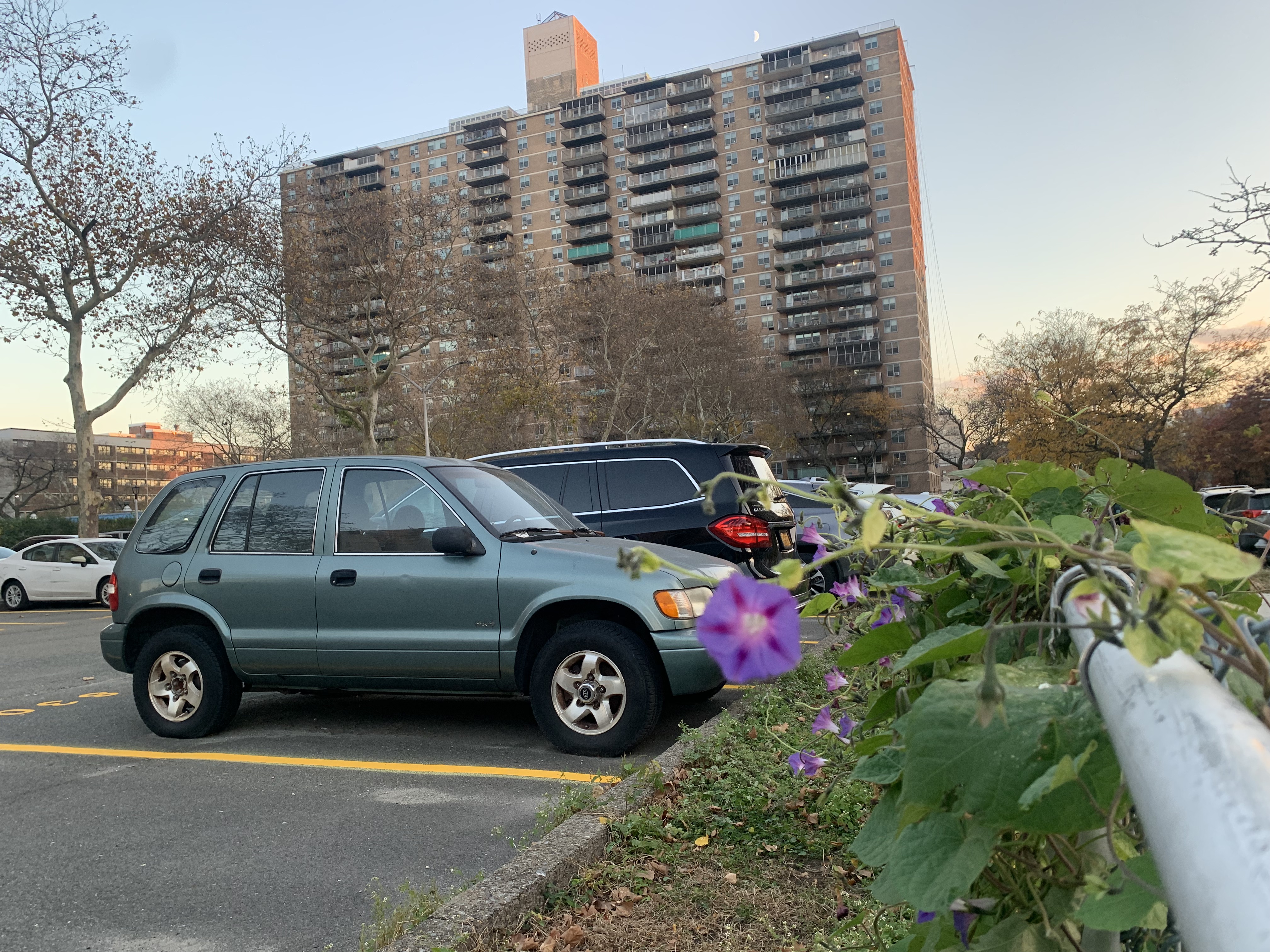
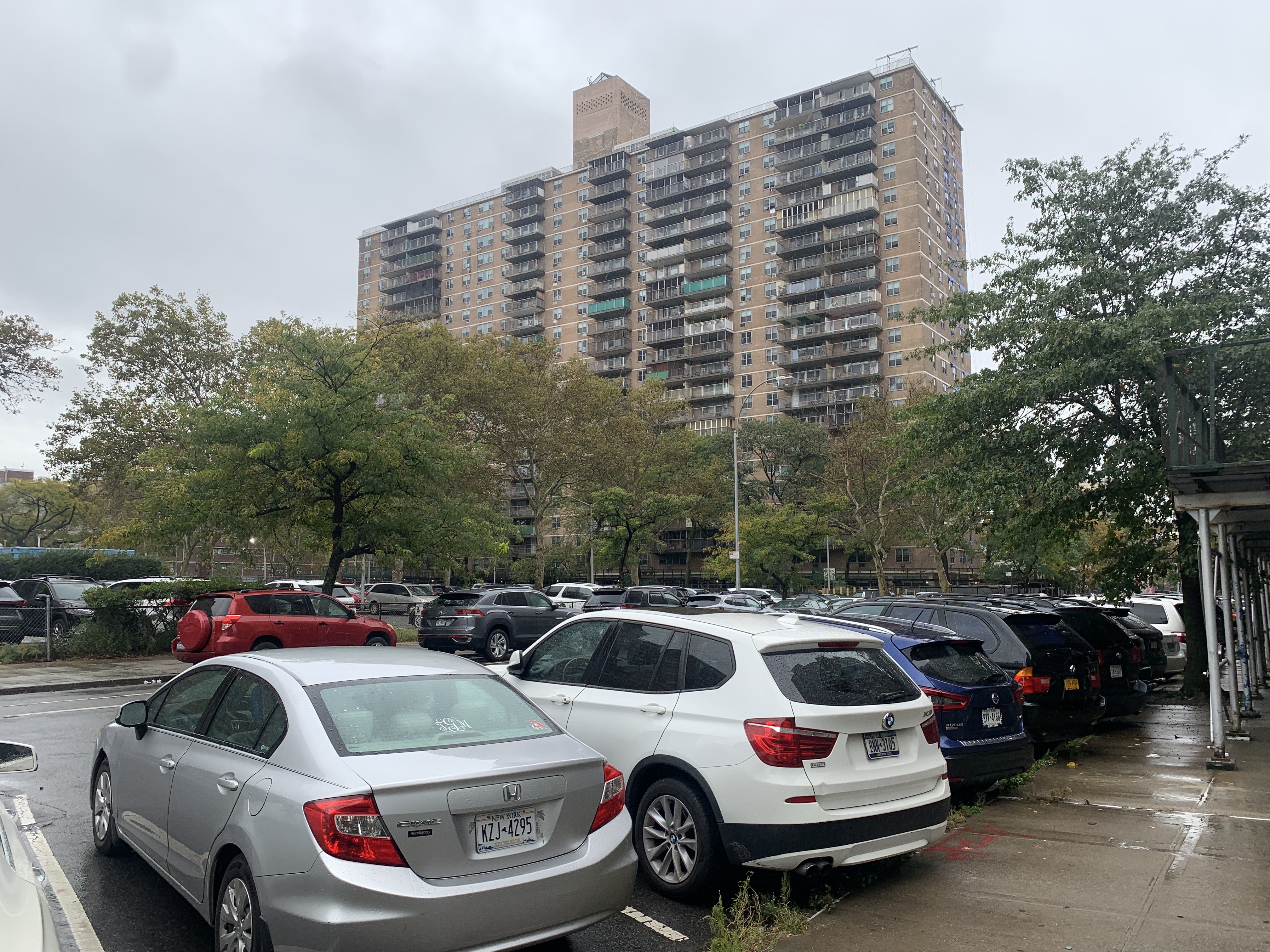
Lindsay Park is a mid-century planned community and housing cooperative in the southeastern portion of the Williamsburg section of North Brooklyn, an area also known as East Williamsburg. Lindsay Park was built with funds accessed through the Mitchell-Lama Housing Program. Mitchell-Lama Housing Program was a New York state government program with the intention of developing affordable housing through rentals and co-ops for middle income New Yorkers. The development of Lindsay Park is not unique to the American mid-century. The land the park now sits on was acquired through eminent domain and was used as an answer to “urban blight.” The development covers 22 acres, across 7 buildings all 22 stories in height. A combined 2700 dwelling units make up the housing stock with units ranging from studios to 3 bedroom apartments.
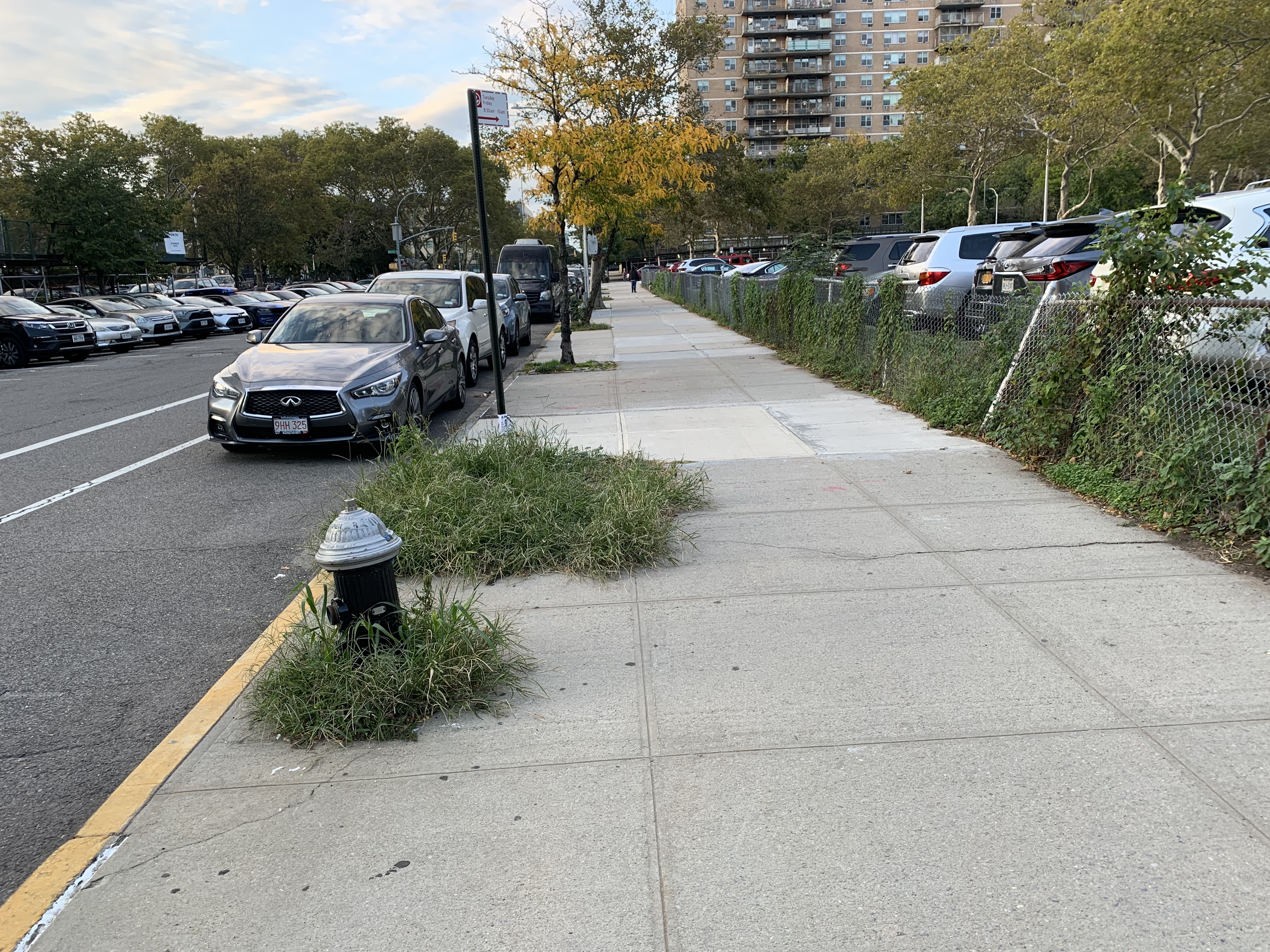
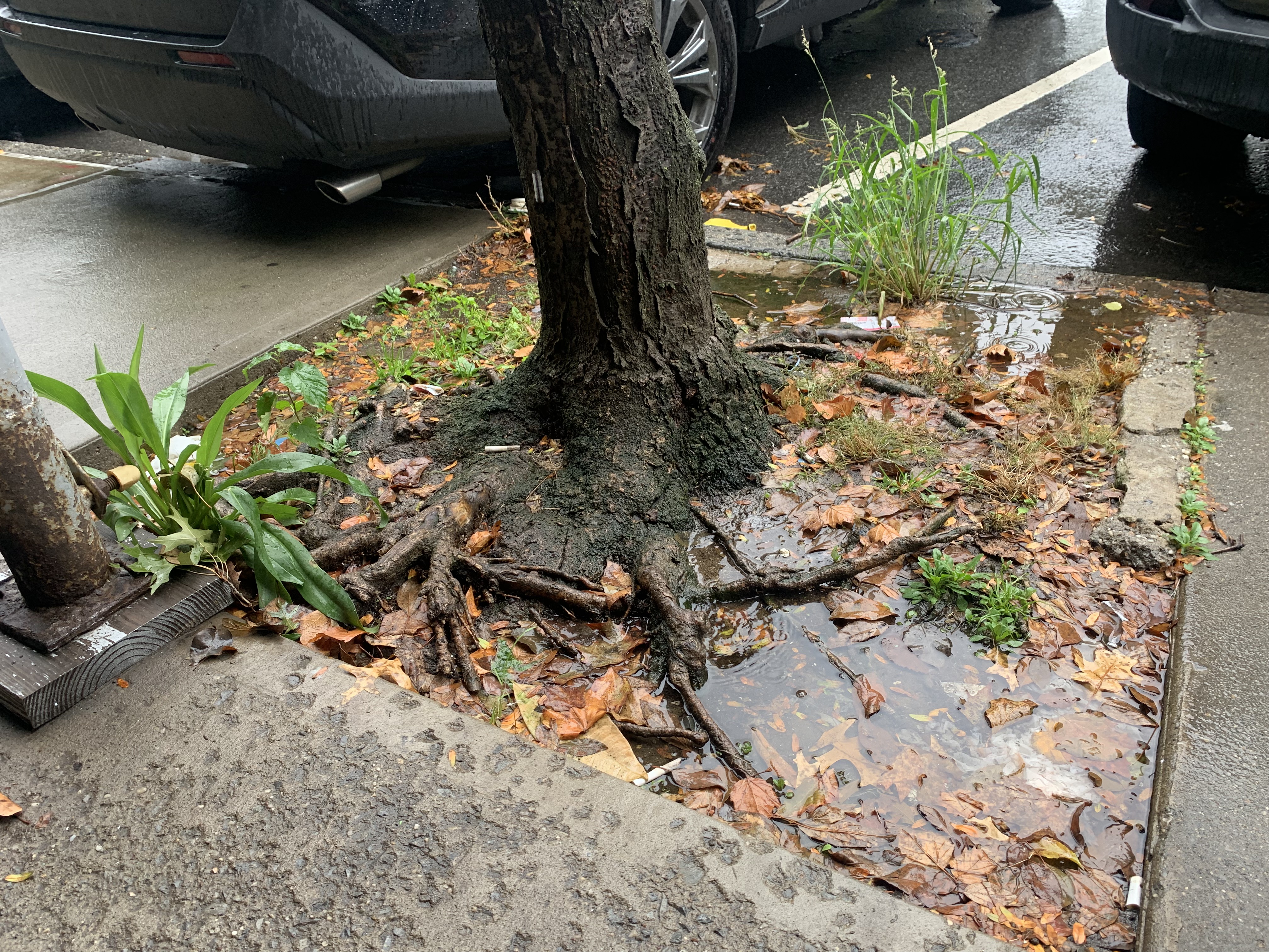
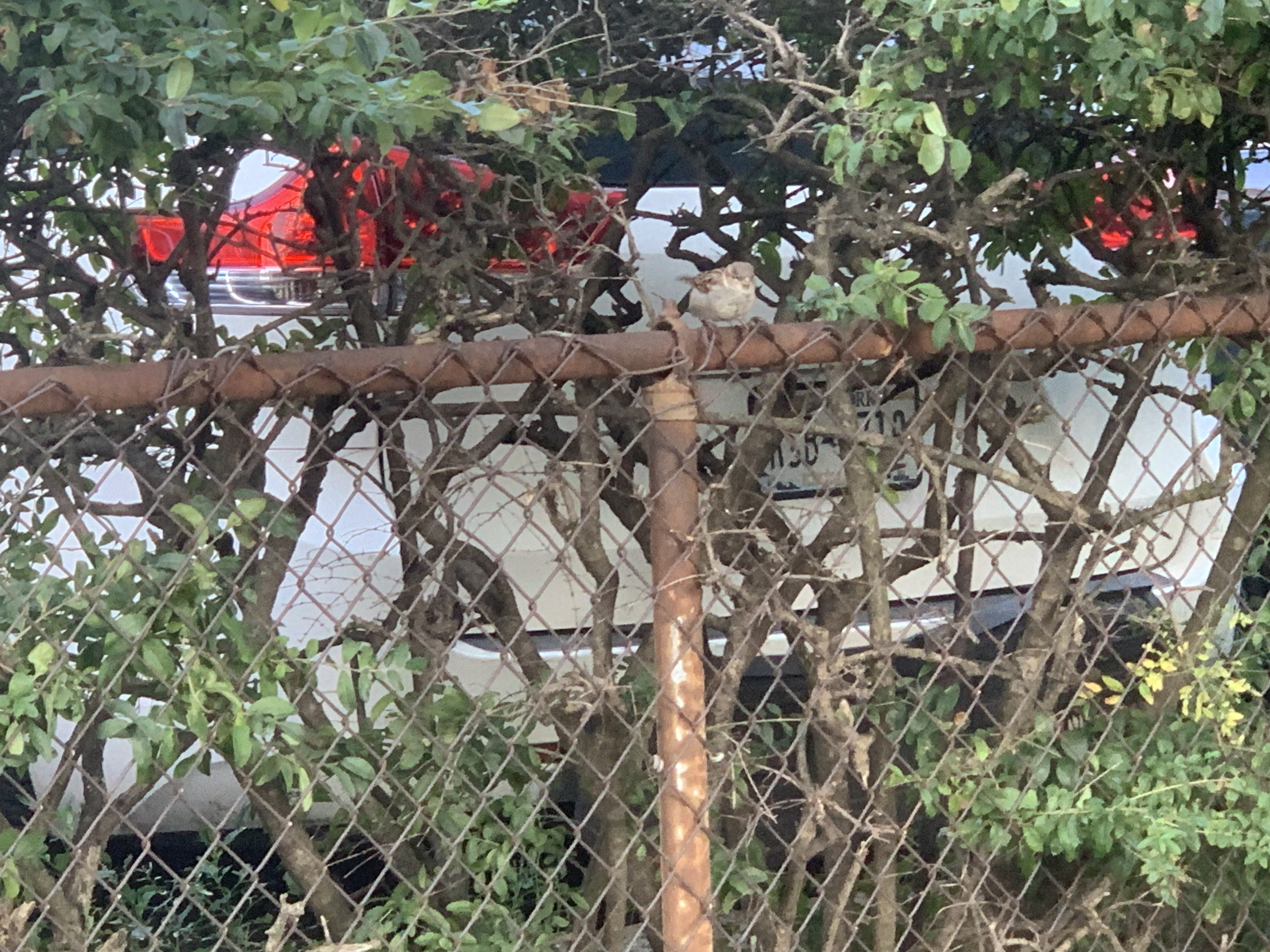
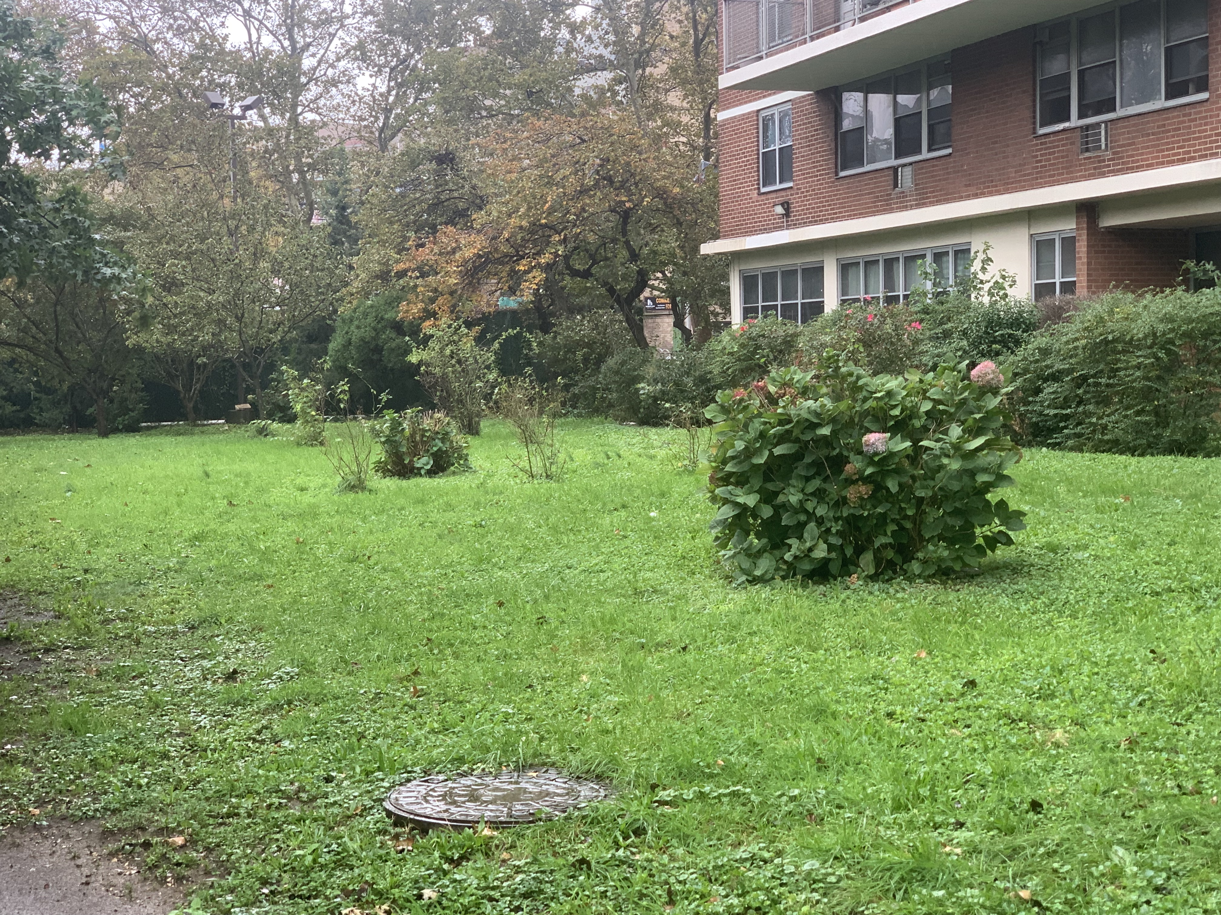
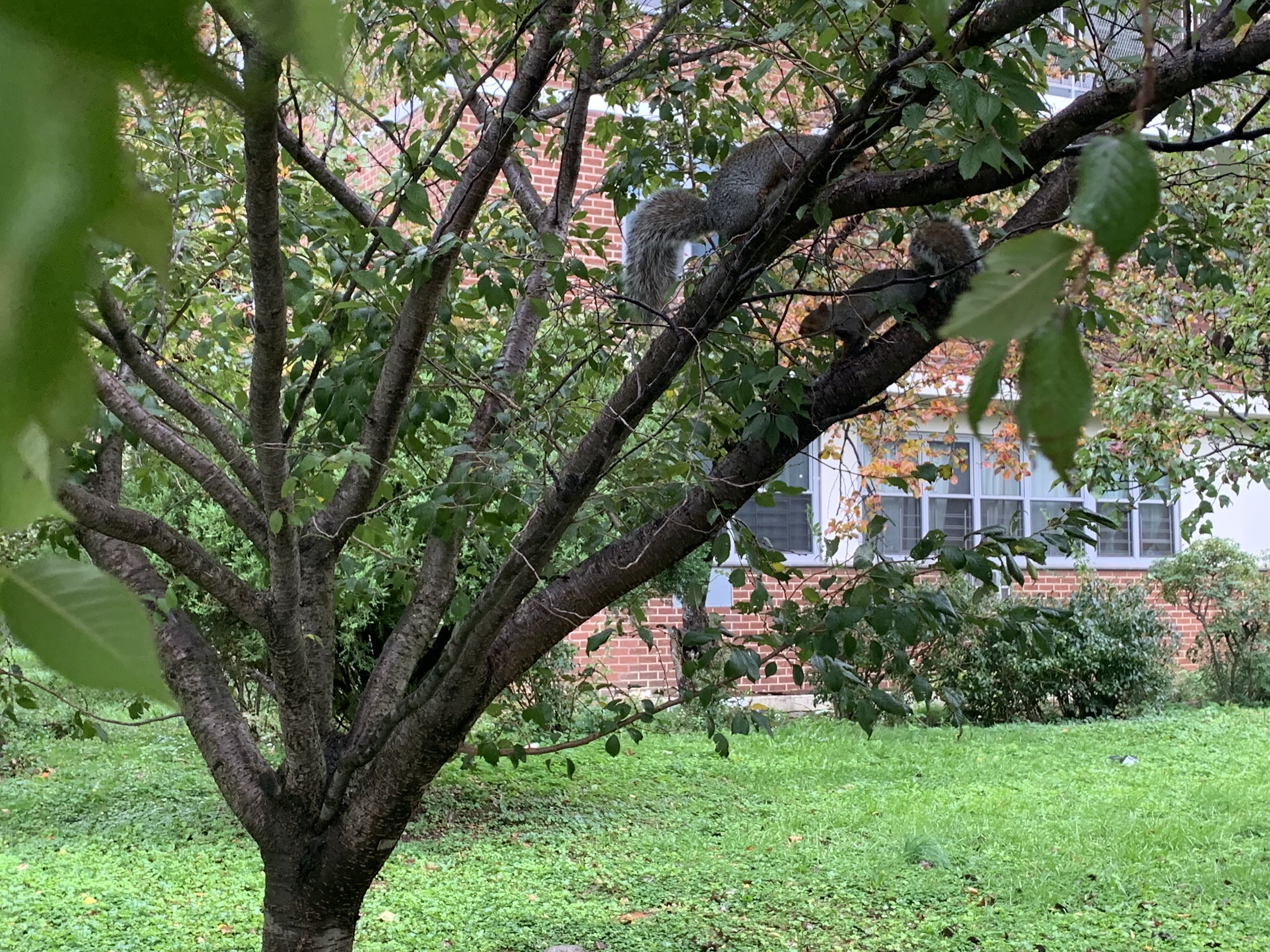
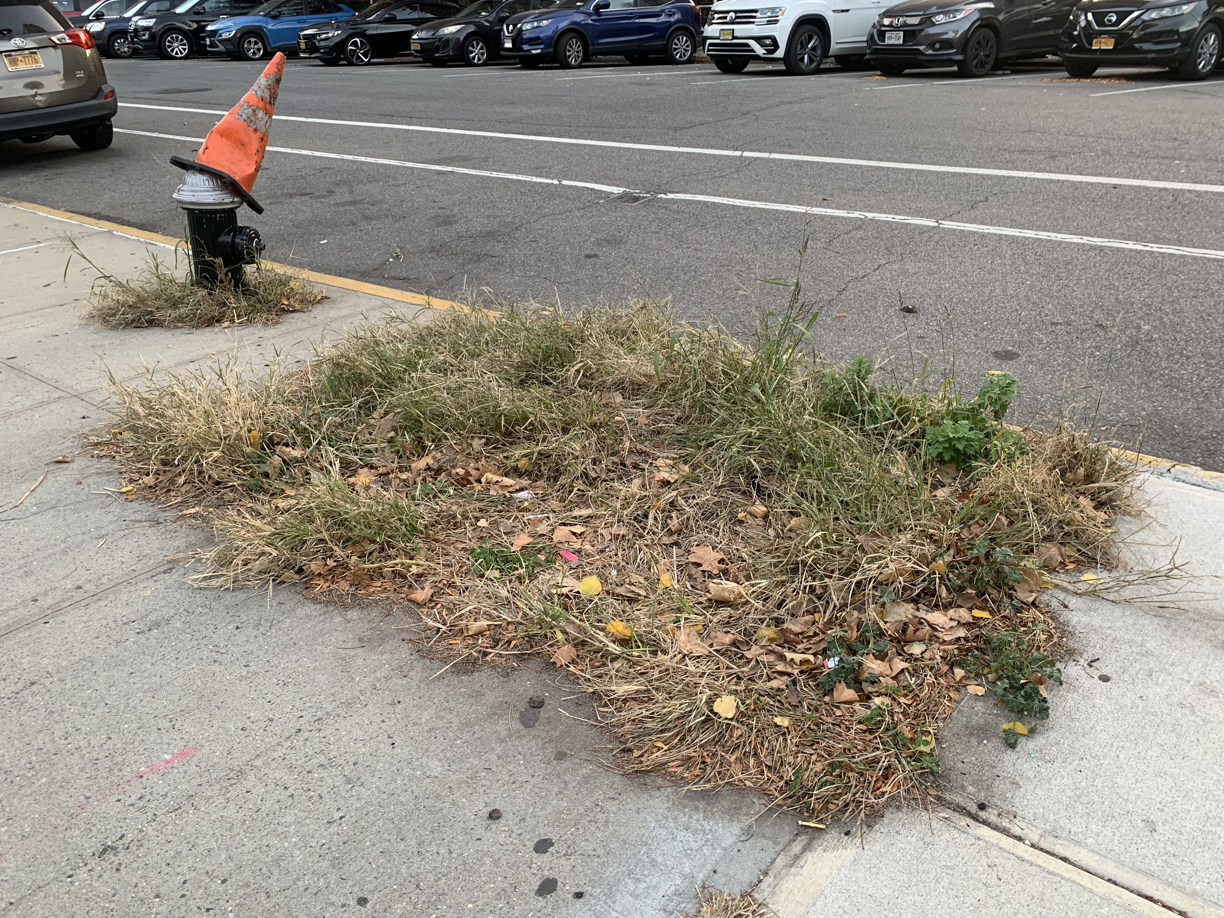
Lindsay Park has a distinct feeling of order at the street level; an individual can tell the space is unique relative to the other areas of North Brooklyn where development has happened at the individual lot level. Lindsay Park was a planned housing development completed in the 1960s, the design choices and organizational philosophy are evident upon a closer inspection. The midcentury design philosophy has resulted in some positive unintended consequences like a number of fragmented patches of permeable surfaces, mainly grass landscaping with various shrubs, bushes and trees; some of the only permeable surfaces in the area. The landscaping philosophy also yielded significant amounts of both sugar gum and London plane trees. These trees in union with the size of the buildings and Sternberg Park have helped to create an excellent habitat for urban birds, vís-a-vís urban buttes and urban cliffs.
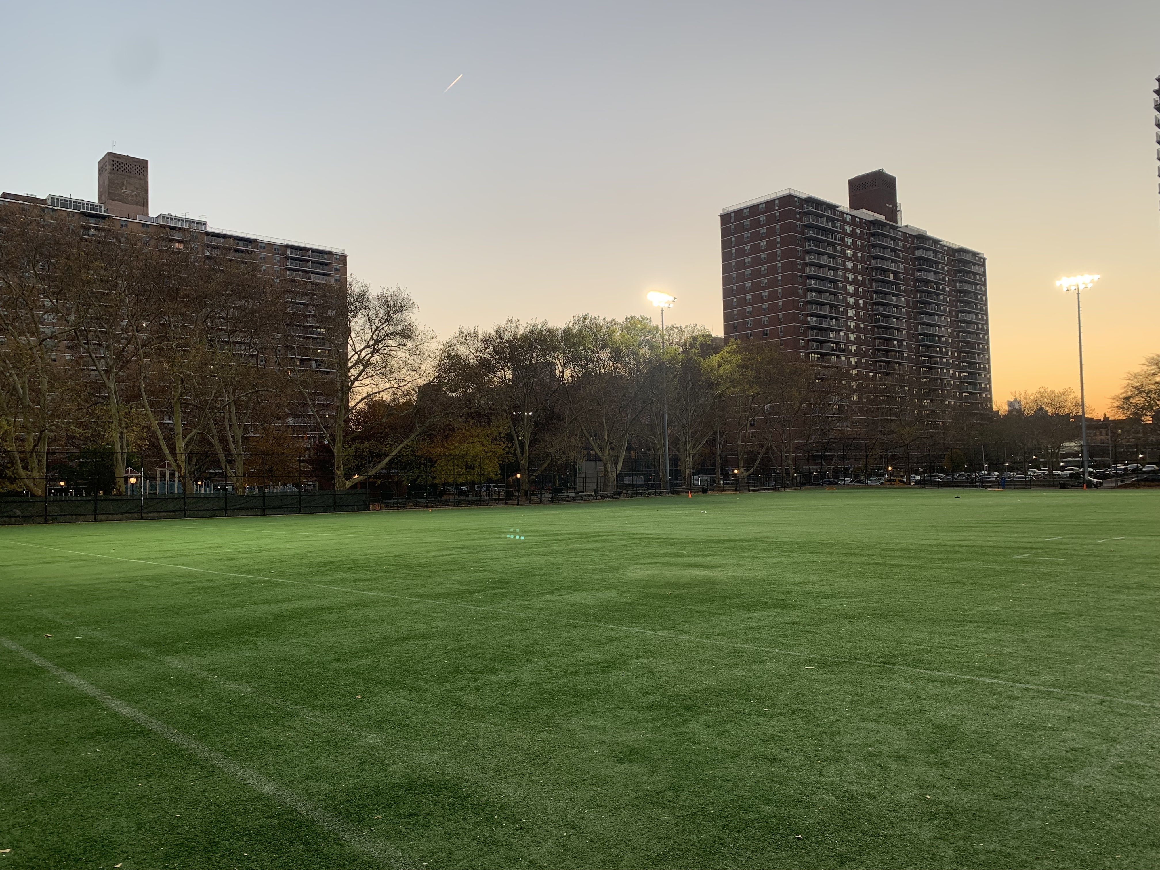
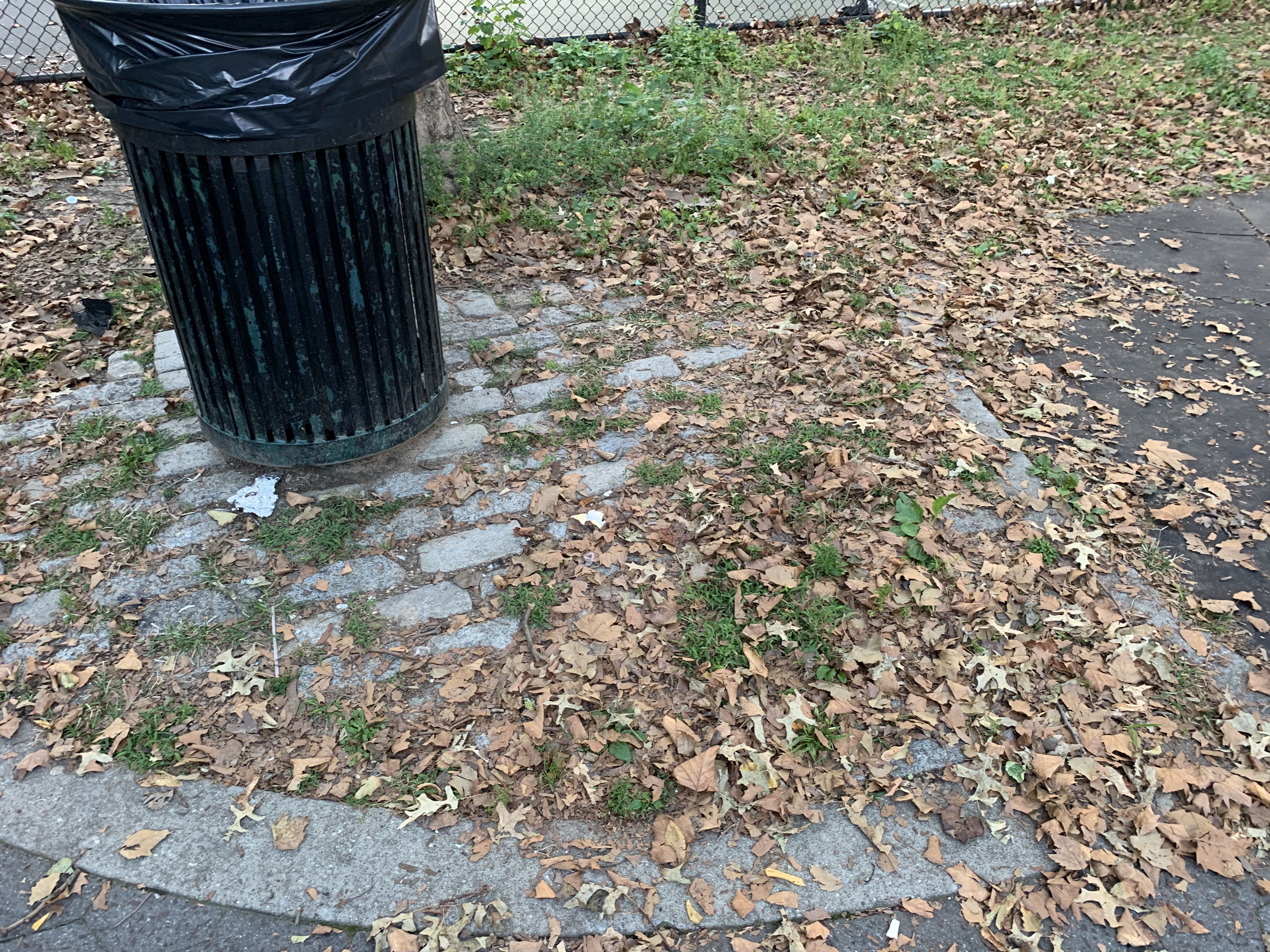
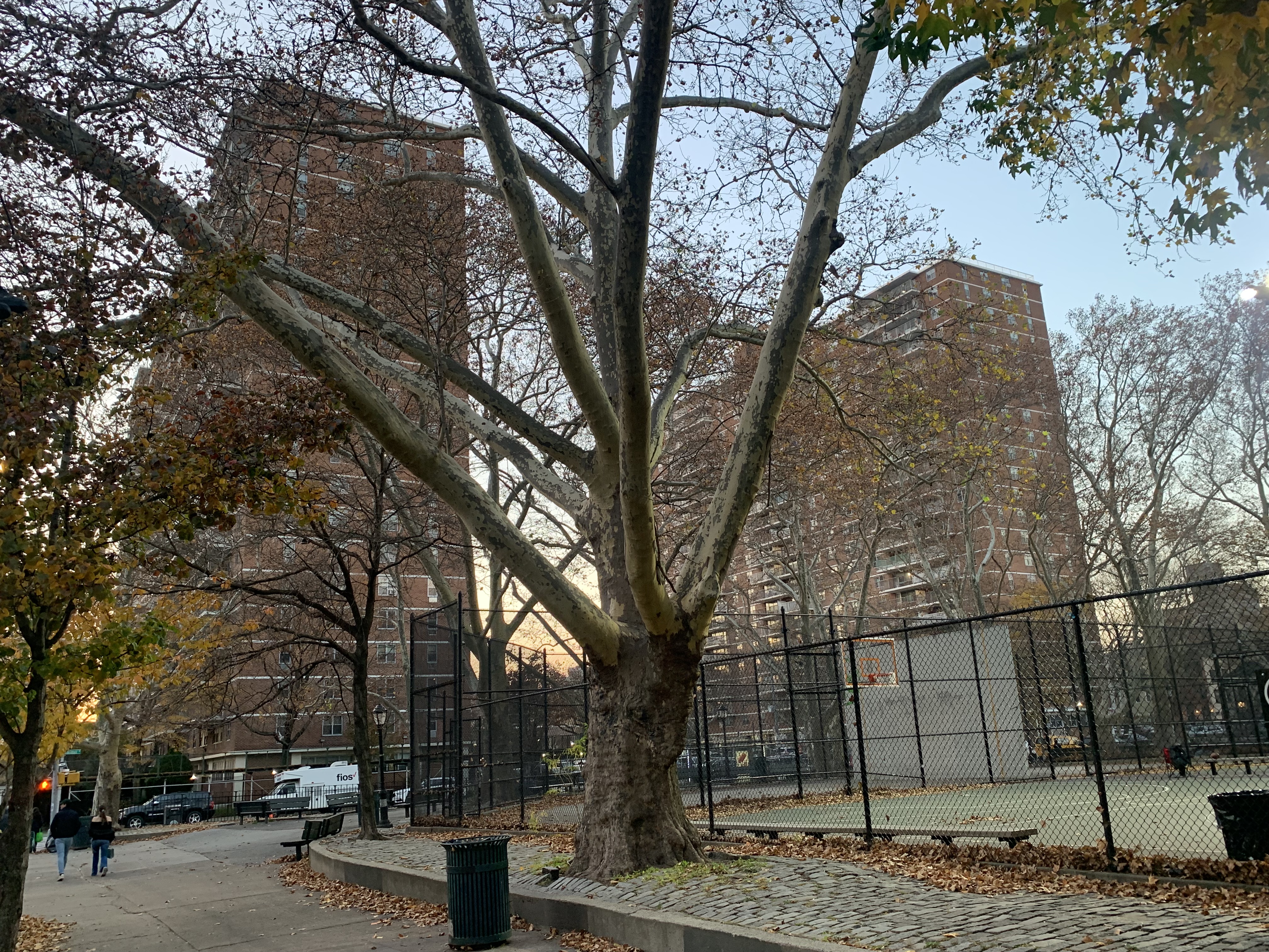
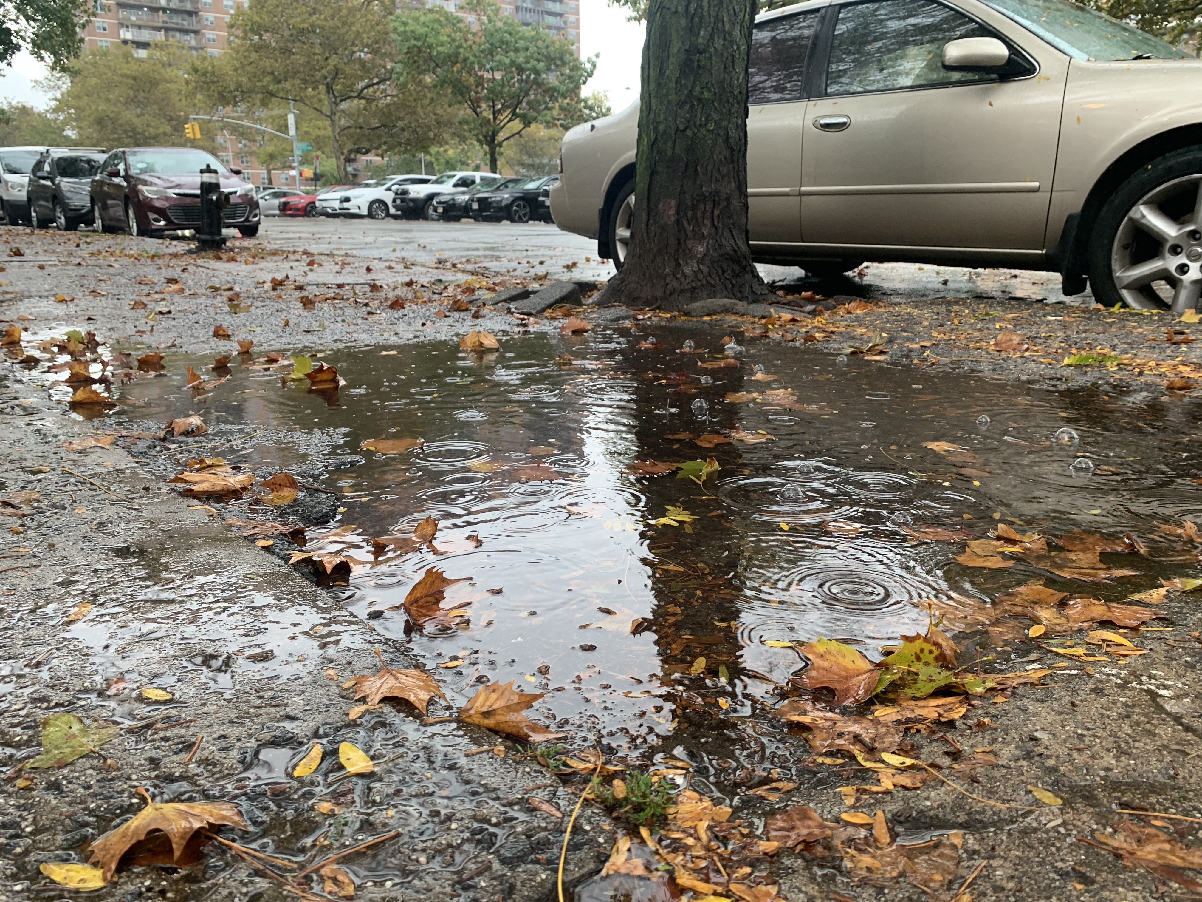
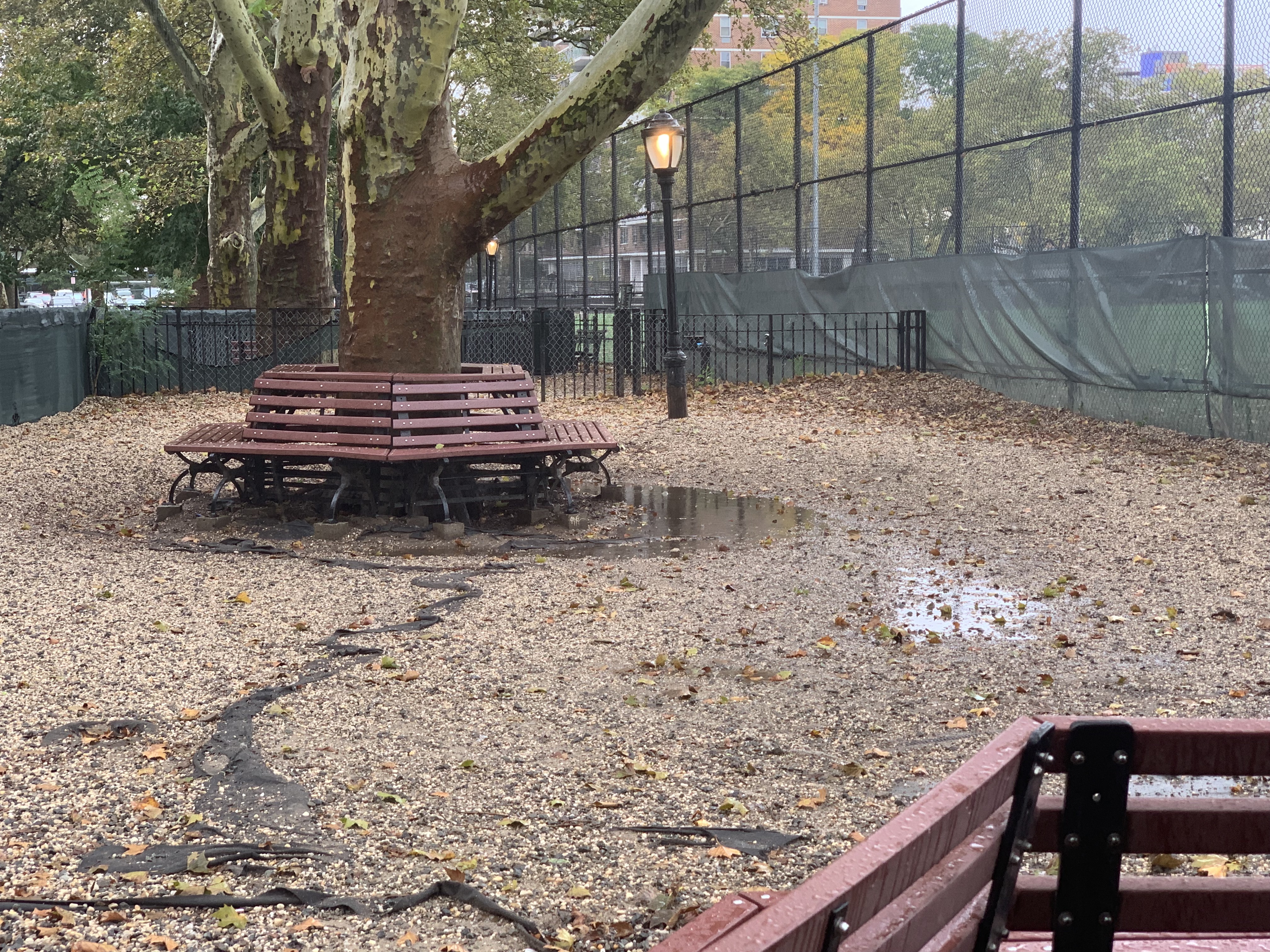
Lindsay Park also includes Sternberg Park, a small community park nestled inside of the Lindsay Park footprint. The park is home to a large synthetic turf athletic field, two basketball and two handball courts, a playground, and a dog run. Similar to Lindsay Park, the majority of surfaces are impermeable. During and after rainfall, the dog run collects standing water, the synthetic turf athletic field pools water, and the painted concrete for the basketball and handball courts make the park an extension of impermeability. However, the park is home to a number of London plane trees much like the rest of Lindsay Park.
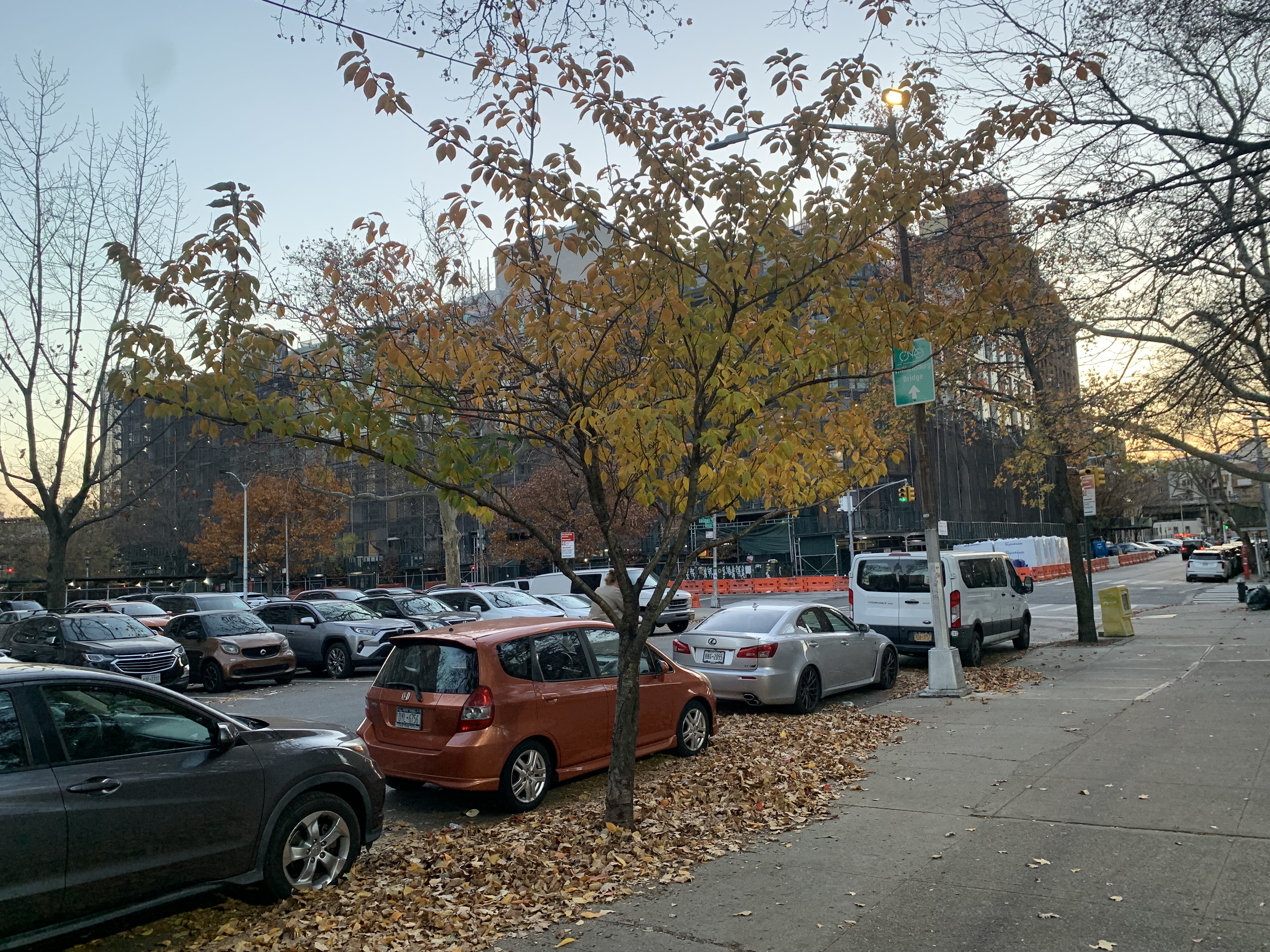
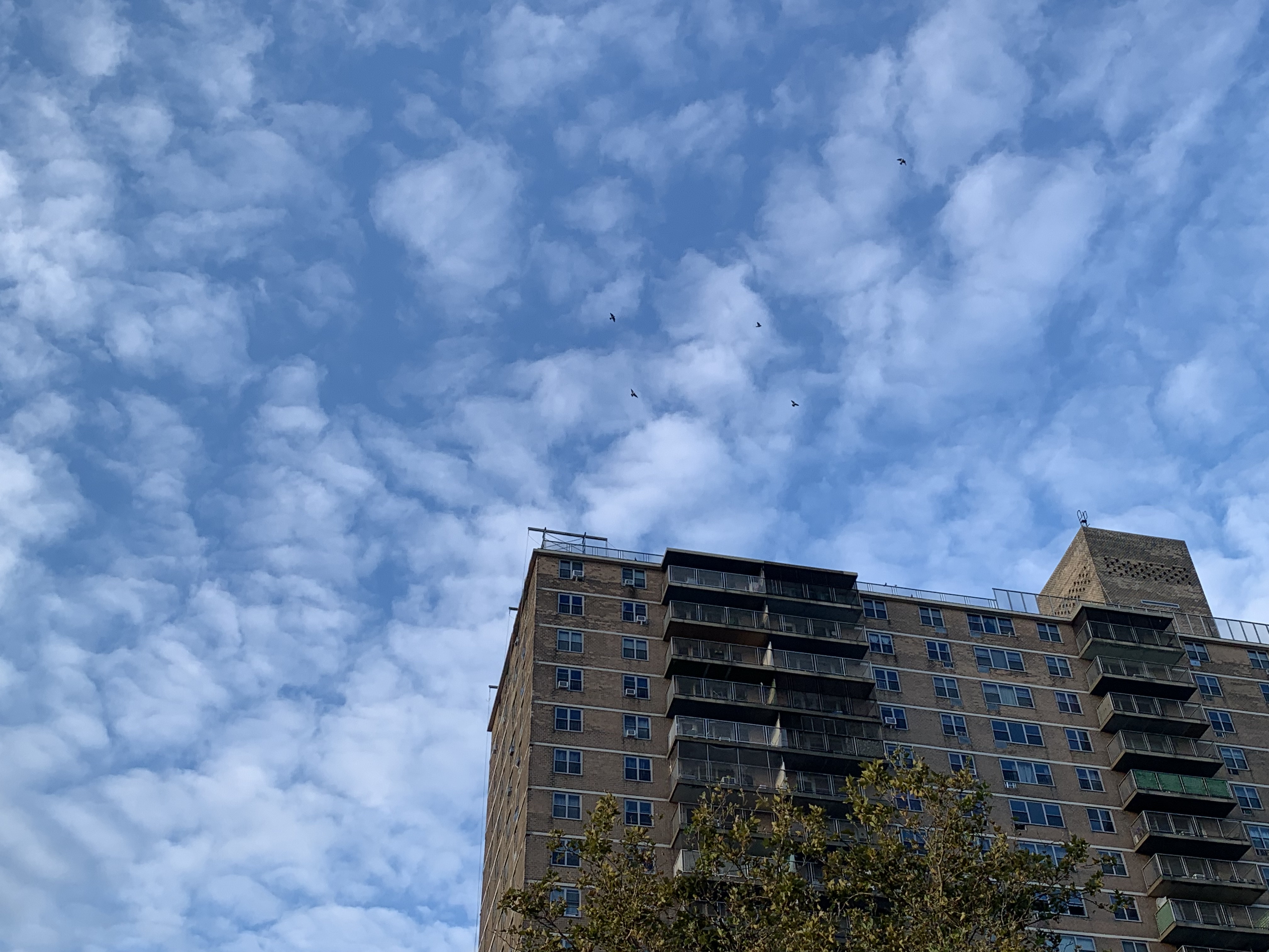
Field Survey Images
The following images were captured during regular surveys of the Lindsay Park and Sternberg area. The site was accessed at different times and during different weather conditions from September to November.
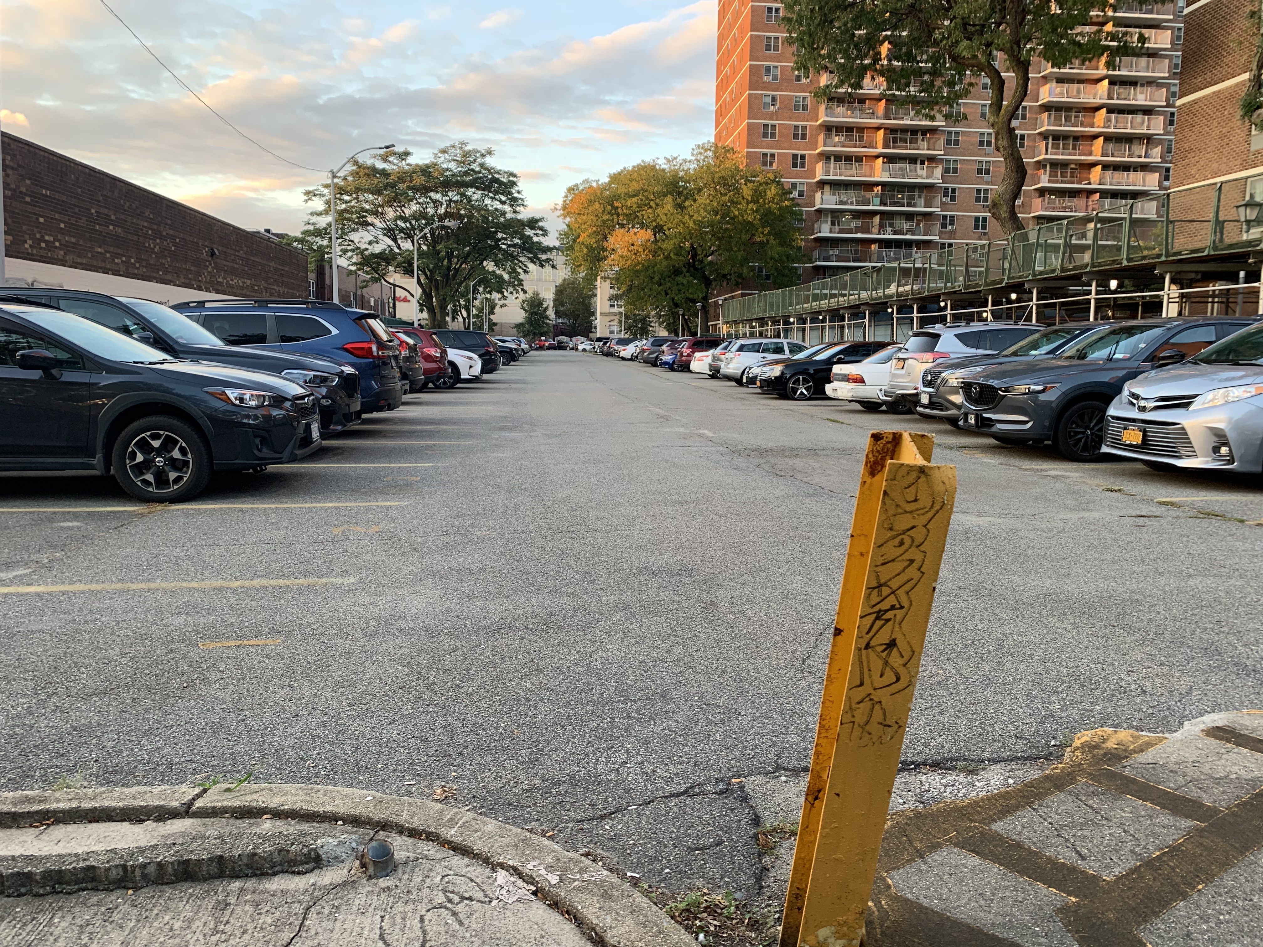
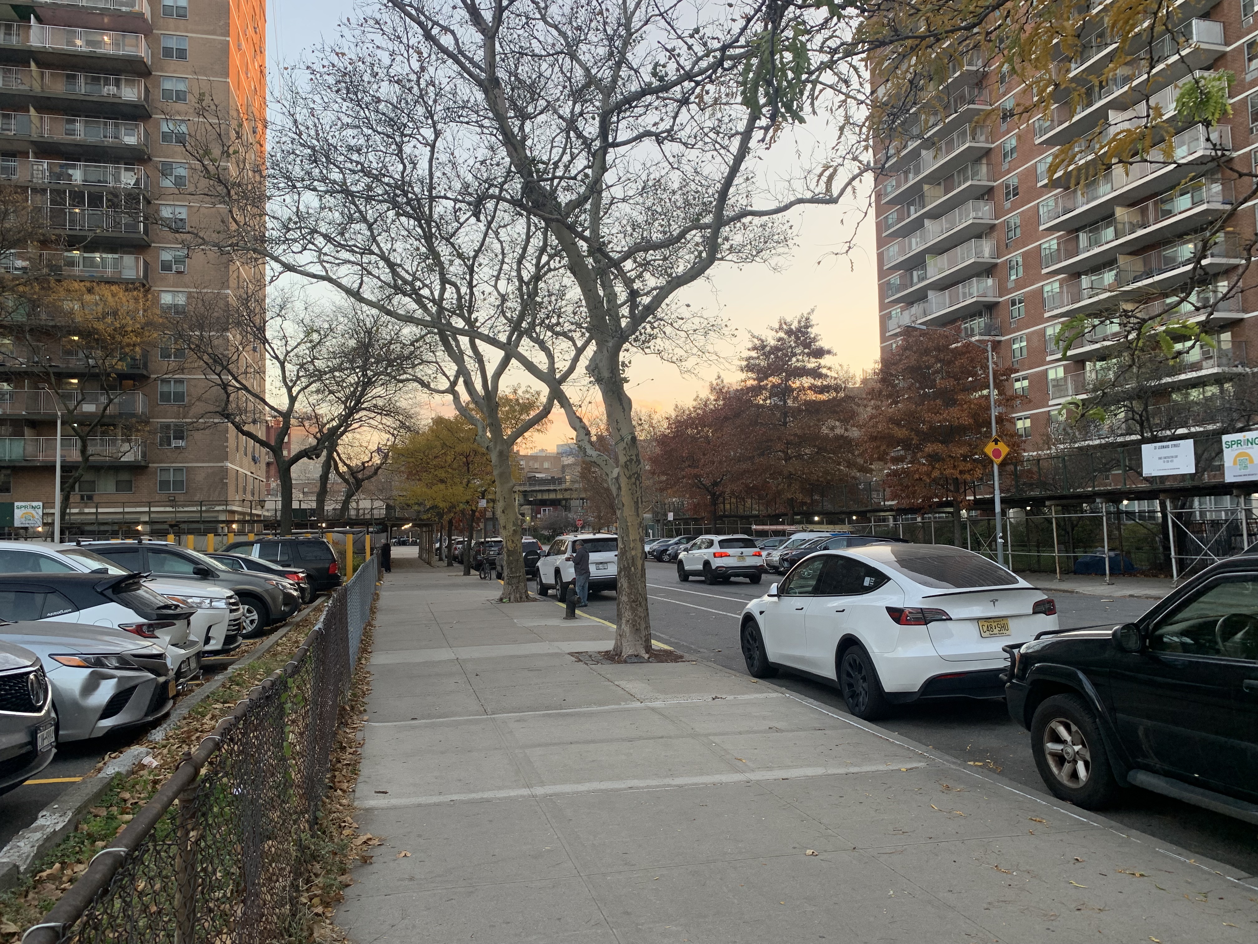
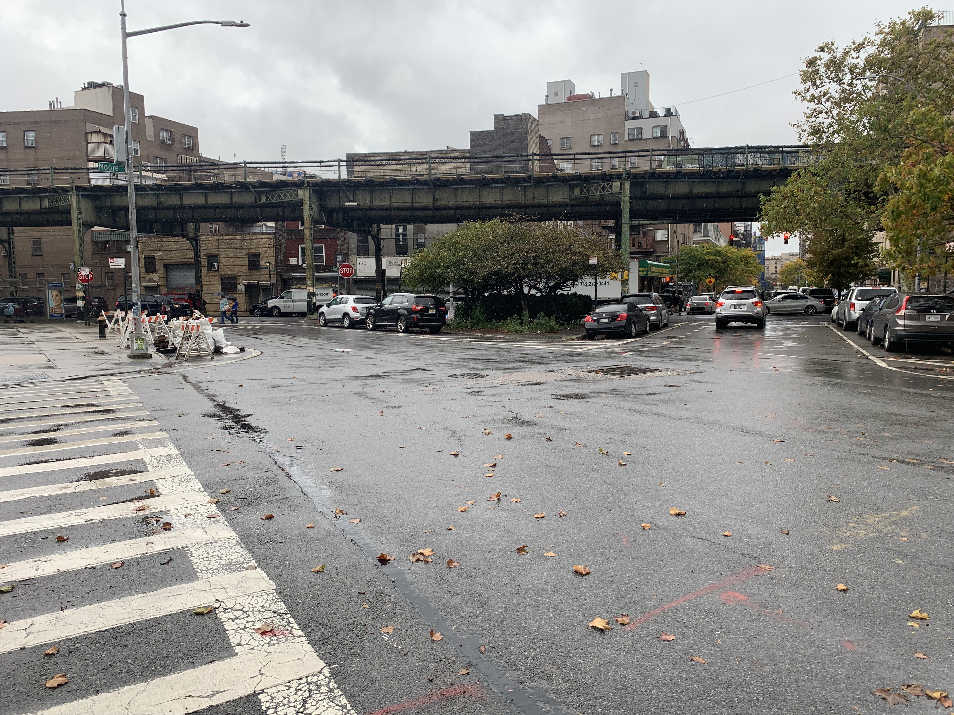
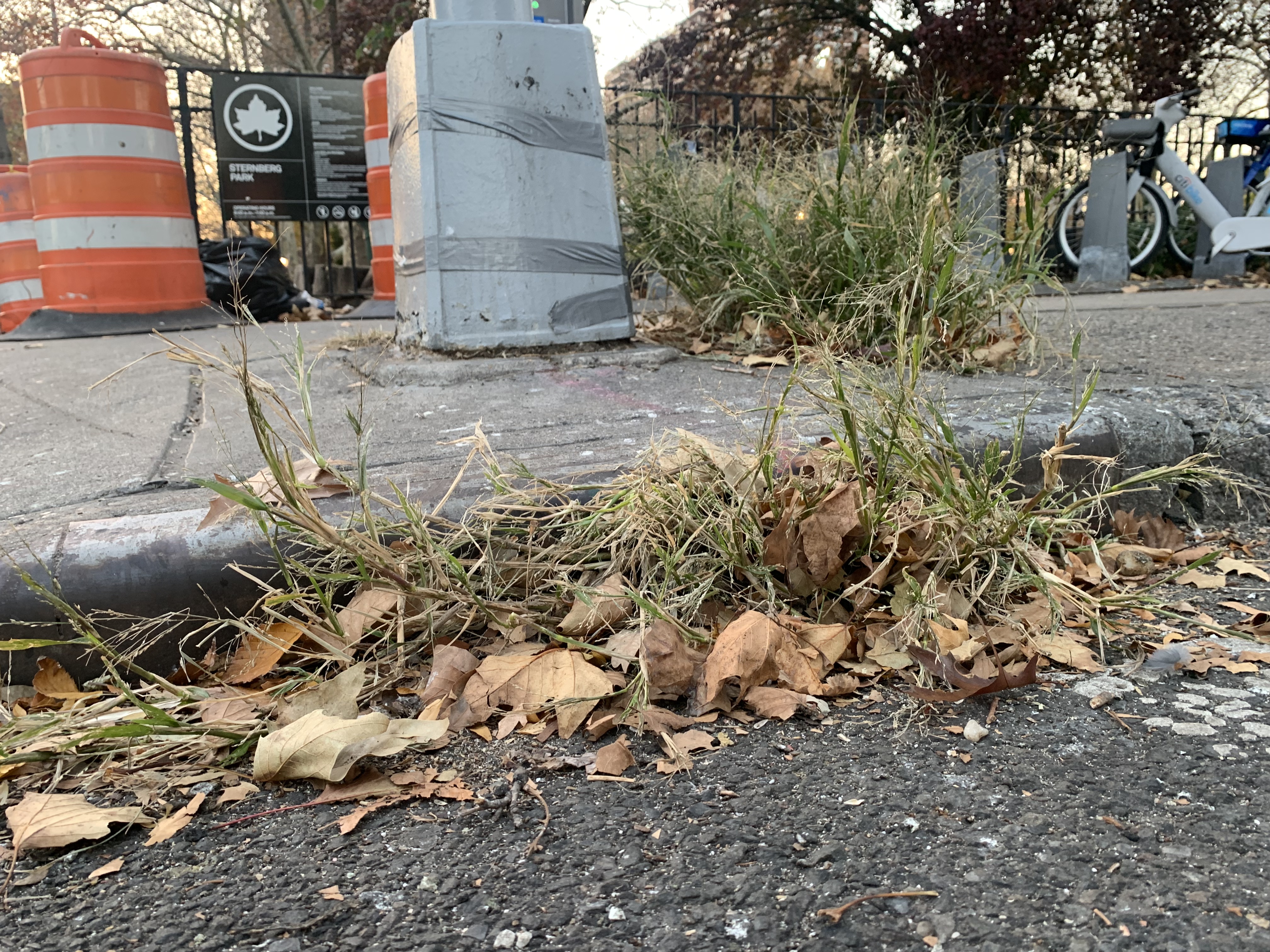
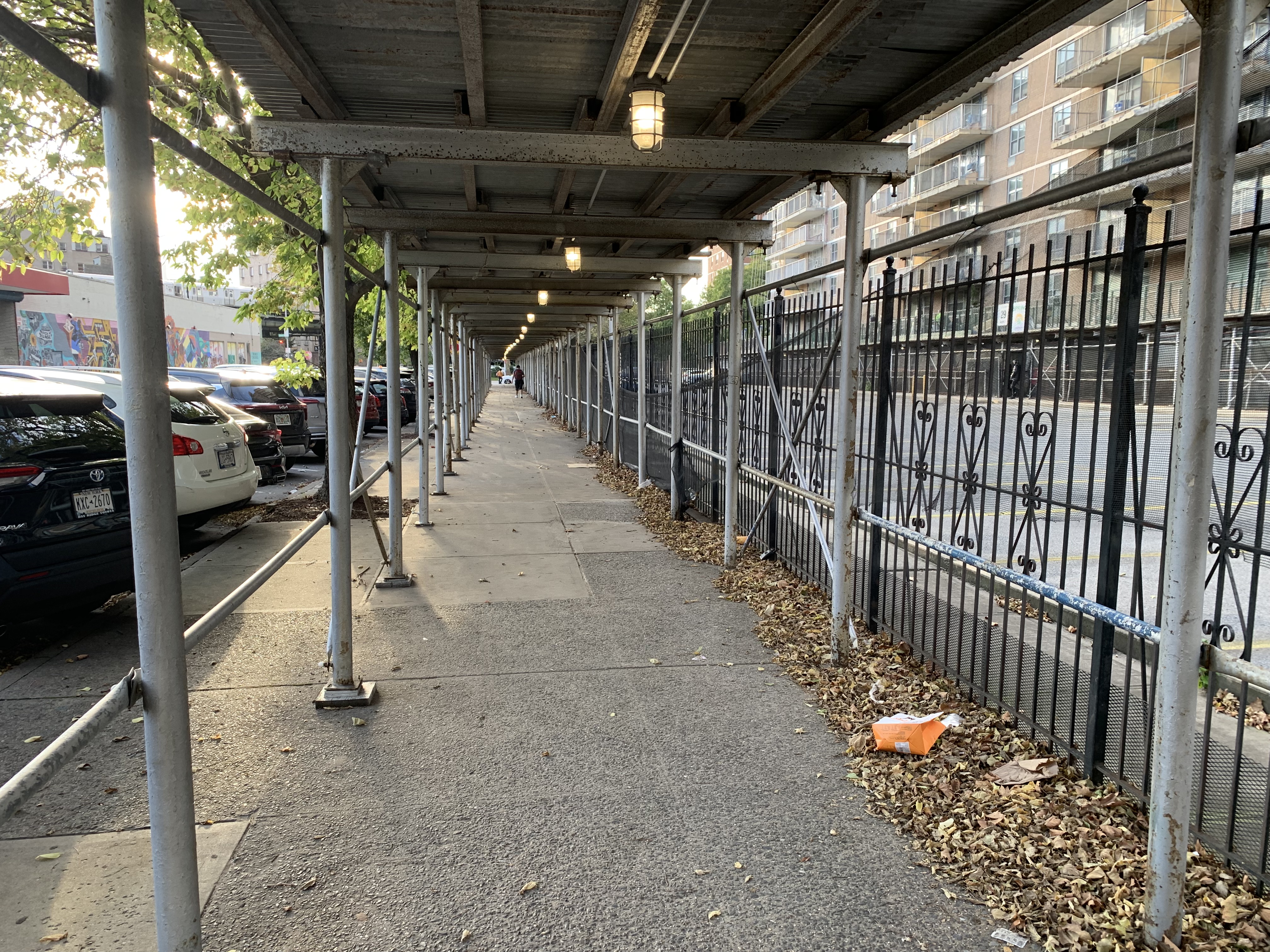
The area’s landcover is dominated by impermeable surfaces like asphalt, concrete, and a large synthetic turf athletic field. There are small patches of green space that are fenced off from public access. The corridor of Leonard Street between Moore Street and Boerum Streets is home to a “pollinator corridor.” This elongated patch has developed into the most biodiverse section of Lindsay Park. This stretch is abutted on one side by grass that is used as landscaping for the large parking lot that resides between buildings #1 and #2.
The seven towers that make up Lindsay Park are all 21 stories tall. The development, by virtue of being designed and built in the 1960s, is home to large swaths of parking lots. Combined with the sturdy and large London planetrees that dominate the landscaping, have created an ideal urban habitat for a variety of bird species including pigeons, starlings, sparrows, seagulls, and even redtailed hawks. This bird population is supported by various residents of Lindsay Park who deposit large amounts of birdfeed and grains at various points throughout the area.
NYC Flood Hazard Mapping of Lindsay Park


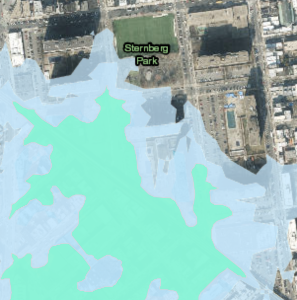


Lindsay Park lies in the path of an expanding flood plain.
By 2100 all seven of the Lindsay Park towers are forecast to reside in a floodplain. The landcover in Lindsay Park is essentially all impermeable surface, the need for green infrastructure and nature based solutions is very high. Because Lindsay Park is a Co-Op, there are different funding options available to implement flood mitigating interventions.
The seafoam green color is the 0.2% annual chance floodplain; the lighter blue is the 1% annual chance food plain. The percentages equate to the likelihood of a flood in these shaded areas.
The seafoam green color is the 0.2% annual chance floodplain; the lighter blue is the 1% annual chance food plain. The percentages equate to the likelihood of a flood in these shaded areas.